
File:Greatcircle Jetstream routes.svg

Size of this PNG preview of this SVG file: 800 × 367 pixels. Other resolutions: 320 × 147 pixels | 640 × 294 pixels | 1,024 × 470 pixels | 1,280 × 587 pixels | 2,560 × 1,175 pixels | 815 × 374 pixels.
Original file (SVG file, nominally 815 × 374 pixels, file size: 54 KB)
Summary
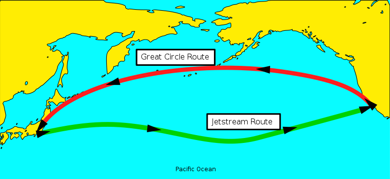
| Description | Jetstream and Great Circle airplane routes. |
| Date | Unknown date |
| Source | GSHHS PD Coastline Data / Own Work |
| Author | ChaosNil |
| Permission (Reusing this file) |
Public Domain |
| Other versions |
Derivative works of this file: A replacement for and inspired by http://en.wikipedia.org/wiki/Image:FlightPaths.jpg
|
| SVG development | This diagram was created with Inkscape, or with something else. This diagram uses embedded text that can be easily translated using a text editor. |

Licensing
| I, the copyright holder of this work, release this work into the public domain. This applies worldwide. In some countries this may not be legally possible; if so: I grant anyone the right to use this work for any purpose, without any conditions, unless such conditions are required by law. |
File history
Click on a date/time to view the file as it appeared at that time.
| Date/Time | Thumbnail | Dimensions | User | Comment | |
|---|---|---|---|---|---|
| current | 06:01, 5 February 2007 | | 815 × 374 (54 KB) | wikimediacommons>ChaosNil~commonswiki | {{Information |Description=Jetstream and Great Circle airplane routes. |Source=GSHHS PD Coastline Data / Own Work |Date= |Author=ChaosNil |Permission=Public Domain |other_versions=A replacement for and inspired by http://en.wikipedia.org/wiki/Image:Flight |
File usage
The following page uses this file: